Dundas St E at Dagmar Ave
This intersection sits at the heart of Leslieville's residential core — and at the center of a documented safety crisis.
Dundas Street East at Dagmar Avenue, Toronto (Ward 14 Toronto-Danforth)
Why this exact location
Dagmar Avenue isn't arbitrary. It's where multiple factors converge to create a perfect storm of pedestrian risk.
Critical corridor gap
Between Jones Avenue and Pape Avenue — both signalized intersections on Dundas East — there is no protected pedestrian crossing. The gap is approximately 400 metres. The side streets within it (Hiltz, Caroline, Brooklyn, Dagmar, Bertmount) all feed pedestrian demand onto Dundas with no safe way across. Dagmar Avenue sits near the middle of the gap. Brooklyn Avenue, one block west, provides direct access to Hideaway Park.
Hideaway Park draws family foot traffic
Hideaway Park sits roughly 50 metres south of Dundas Street East, accessed via Brooklyn Avenue immediately west of Dagmar. The park is a regular destination for families with young children. Without a protected crossing on this stretch, families with strollers and small kids cross Dundas mid-block to reach the park.
School routes converge
Several TDSB schools sit within one kilometre of this intersection. Children walk through here every school day without crossing protection.
Transit access point
TTC bus stops on both sides of Dundas at Dagmar require pedestrians to cross the street. Without a crossing, riders jaywalk through traffic.
High residential density
Dagmar Avenue connects to dense residential streets on both sides of Dundas. The intersection sees consistent pedestrian demand throughout the day.
Documented collision history
69 KSI events within 1km since 2006. The data shows this is not a perceived risk — it is a measured, documented danger.
Long signal spacing increases vehicle speeds
The distance between Jones Avenue and Pape Avenue traffic signals is long enough to allow vehicle platoons to reach and sustain speeds above the posted limit. Long unsignalized stretches on arterial roads are an established contributor to pedestrian collision severity. A mid-block crossing in this segment also functions as a speed-management measure.
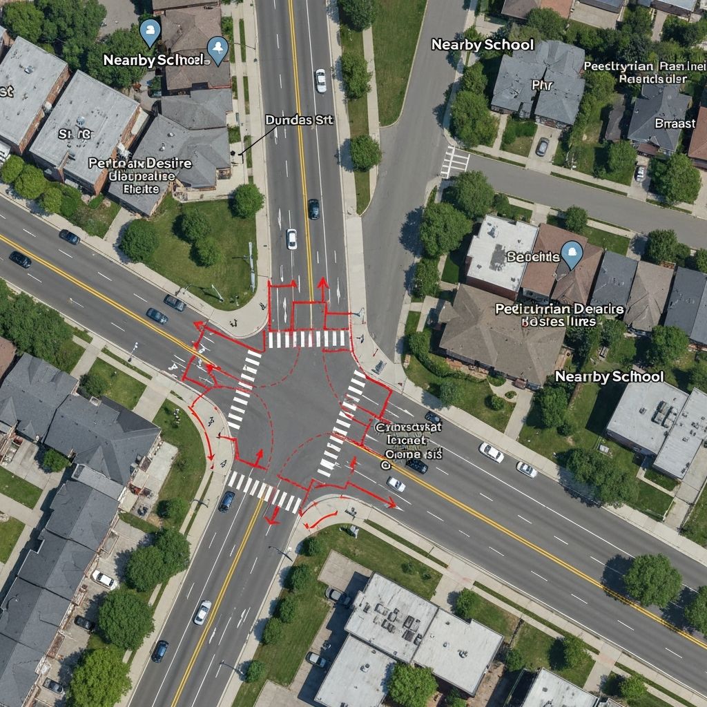
Existing crossings nearby
The nearest protected crossings leave a significant gap right where pedestrian demand is highest.
Jones Ave to Pape Ave: no protected crossing on this segment
Jones Ave
Signal
(West)
Hiltz
(no crossing)
Caroline
(no crossing)
Brooklyn
Hideaway Park
(no crossing)
Dagmar
PROPOSED
(no crossing)
Bertmount
(no crossing)
Pape Ave
Signal
(East)
Jones Ave
Traffic signal • West end of gap
Dagmar Ave
No crossing • Mid-gap (proposed)
Brooklyn Ave
No crossing • Hideaway Park access
Pape Ave
Traffic signal • East end of gap
School catchments
Several TDSB elementary and secondary schools sit within walking distance of this intersection. We are working with local parent councils to confirm which catchments include the Dundas & Dagmar crossing along their walking routes. Verified school names and distances will be added here as they are confirmed.
If you are a parent or staff member at a nearby school and want to discuss walking-route impacts, email hello@dundaseast.ca.
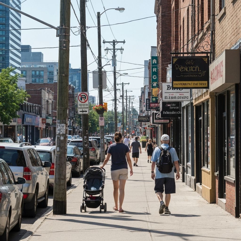
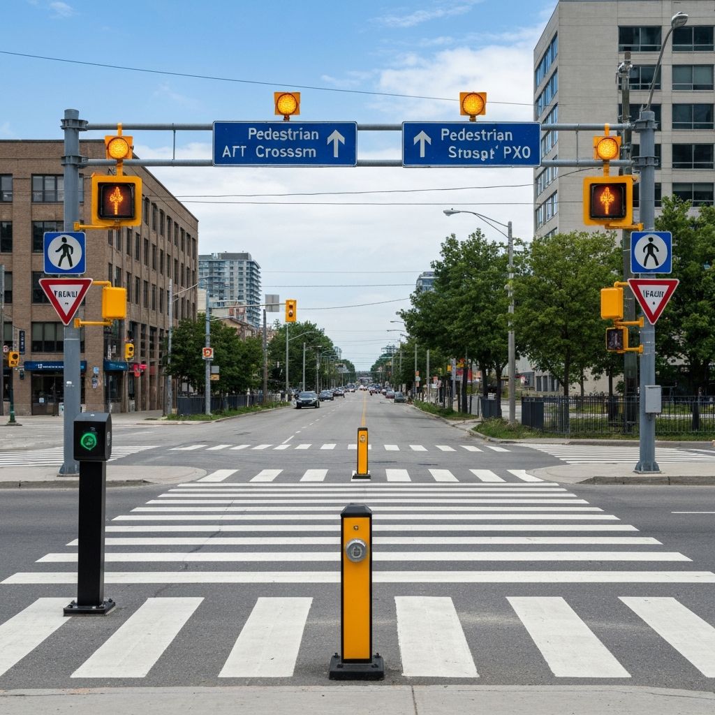
At street level
These photos document current conditions at the intersection.

The closest documented pedestrian KSI on this stretch
On October 2, 2025, a cyclist was struck and seriously injured on Dundas East within the Jones-to-Pape gap. The Toronto Police Service KSI dataset also records multiple pedestrian KSI events within one kilometre of Dagmar over the past two decades, including five involving children and five fatal.
Source: Toronto Police Service Motor Vehicle Collisions with KSI.
See all 69 events on the map
Explore the full collision dataset with our interactive map showing KSI events within 1km.
View the dataRead the technical request
Learn why we're asking for a Level 2 PXO or IPS, and how the warrant process works.
The Ask